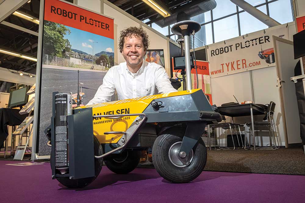
The Robot Plotter can use either RK-GNSS or Total Station systems for accurate control. The Road Profiler meanwhile operates using data from RTK-GNSS and 3D models and is linked to a milling machine. Continuous control and adjustment of the milling depth is ensured to millimetre accuracy, based on the data from the 3D model.
Using this technology eliminates the need for manual staking-out of milling figures on the asphalt surface, making operations more efficient and accurate, while reducing the time needed for set-up. At the same time, the continuous adjustment of the milling depth to the model ensures a more precise surface.
Boosting accuracy while reducing the time needed for marking out, this technology delivers key benefits to users according to the firm. Removing the need for manual marking out also makes operations safer, by removing personnel from road sites.
Stand 06.108
