Of the 50 US states, Wyoming is the least populous (with fewer than 600,000 residents) while having the second-largest proportion of its land area classified as rural (after Alaska).

As such, it is proving to be a key testbed for the first wave of a USDoT-funded connected vehicle (CV) technology initiative programme, which is targeting the reduction of weather-related incidents and the ensuing costs of road closures.
Two parallel USDoT-backed initiatives, in New York City and Tampa, Florida, are contrastingly urban traffic-oriented.
The choice of Wyoming reflects its geography – the state hosts an important freight corridor that plays key roles in the movement of goods both east-west across the country and north-south between the US, Canada and Mexico, making it a “bridge state”.
Running along its southern border, I-80 moves over 32 million tonnes of freight each year (at an average of 16 tonnes per truck). The state also draws millions of tourists every year to its seven national parks.
V2I and V2V
With USDoT funding of $17 million, the Wyoming DoT (WYDoT)’s GIS/ITS Program is focusing on the needs of commercial vehicle operations. It is developing and trialling applications (see table) that use Vehicle to Infrastructure (V2I) and Vehicle to Vehicle (V2V) connectivity to support a flexible range of services, including weather and roadside alerts, parking notifications and dynamic travel guidance.
The project has gone ahead on the basis of existing WYDoT staff capabilities. The system is built to rely upon existing transportation management centre and WYDoT ITS staff capabilities to operate. No authorisation has been made for additional staffing. The absence of any convenient east-west alternative routes to I-80 means that truck volumes can reach as much as 70% of all its traffic during seasonal peaks.
At the same time, its alignment means that it runs at heights of up to 1,800m (6,000ft), creating travel weather conditions that can, at times, resemble those that are typically experienced on a mountain pass. Road closures become necessary when weather conditions and crash hazards become severe enough to outweigh their serious economic impacts on the trucking industry.
The route can be buffeted by blowing snow and shrouded by fog in winter, and by high winds in summer. Over a recent four-year period, during winter seasons when wind and gust speeds can exceed 48km/h (30mph) and 104km/h (65mph) respectively, crash rates on I-80 ran at between three and five times as high as during the summer, resulting in some 40 truck blowovers a year.
Resulting road closures responding to both weather conditions and crash hazards then become necessary despite their severe economic impacts.
Weather-related road closure
The average duration of a weather-related road closure in Wyoming is over eight hours. One calculation indicates that, given the volume of trucks using the I-80, and using a conservative value of $370 per vehicle per hour of closure, this can produce an economic impact of around $11.7 million per event.
This valuation, however, considers only the costs associated with the truck itself being out of service, and the driver’s earnings. It becomes notably higher when the impact on the value of the cargo being carried is also taken into account. In one recent year, there were 172 road closures, 63% of them attributable to weather conditions. Between September 2015 and August 2016, the corridor closed for 250 hours and the social cost topped $865 million.

Meanwhile, crash totals on I-80 have exceeded 1,600 in a bad year, resulting in 18 deaths and 271 injuries. The current initiative is expected substantially to reduce the number of blowovers and other weather-related incidents (including secondary ones).
WYDoT ITS/GIS manager Vince Garcia told ITS International: “The unique benefit being demonstrated by our pilot stems from its rural perspective. Wyoming was chosen as offering Interstate conditions that contrast strongly with those found at the other two sites. Here, vehicles move faster, problems are more weather- than congestion-related and messaging has more to do with trip planning and execution than with issues such as intersection management, the needs of vulnerable road users or pedestrian interactions”.
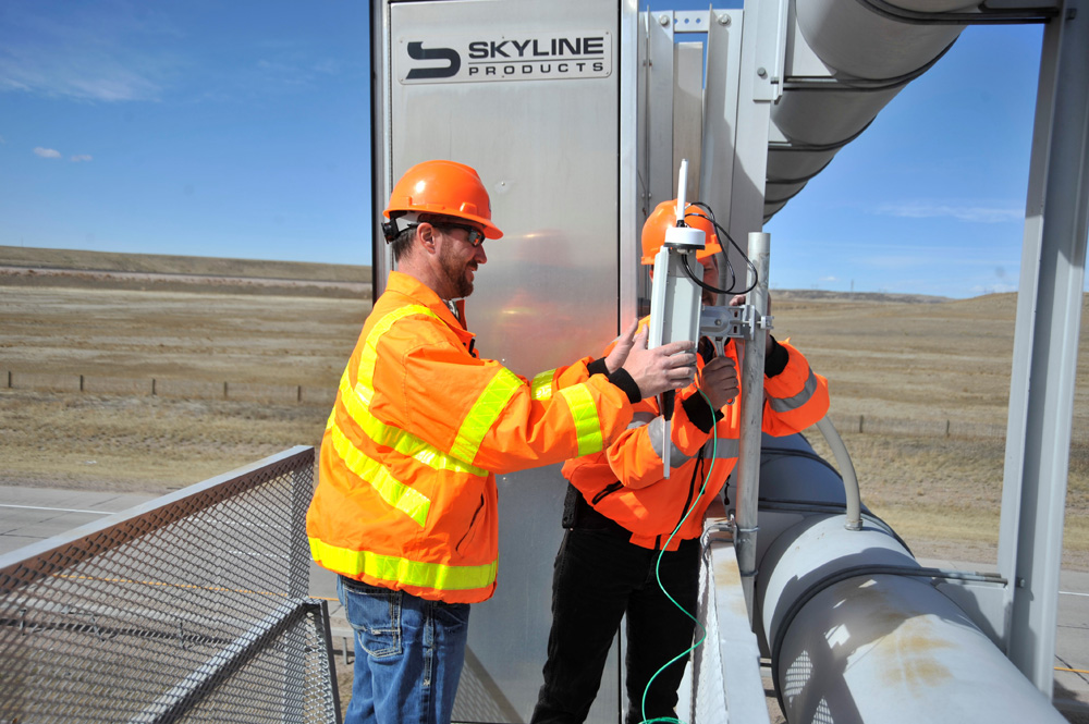
Specifically, the 640km (402-mile) stretch of I-80 in Wyoming has been outfitted with some 75 dedicated short-range communications (DSRC)-based roadside units (RSUs), and the fitting of 400 vehicles, fleet and commercial, with on-board units (OBUs).
The resulting traveller information messages (TIMs) are being deployed for the benefit of the entire state via the implementation of satellite-based distribution.
Automated TIM generation
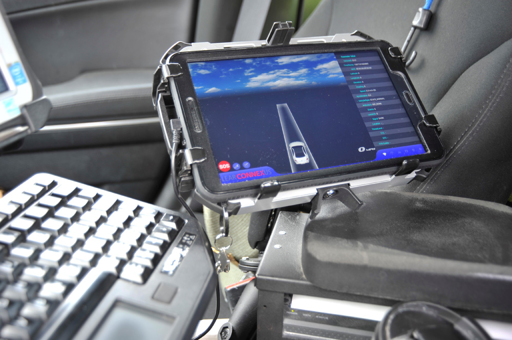
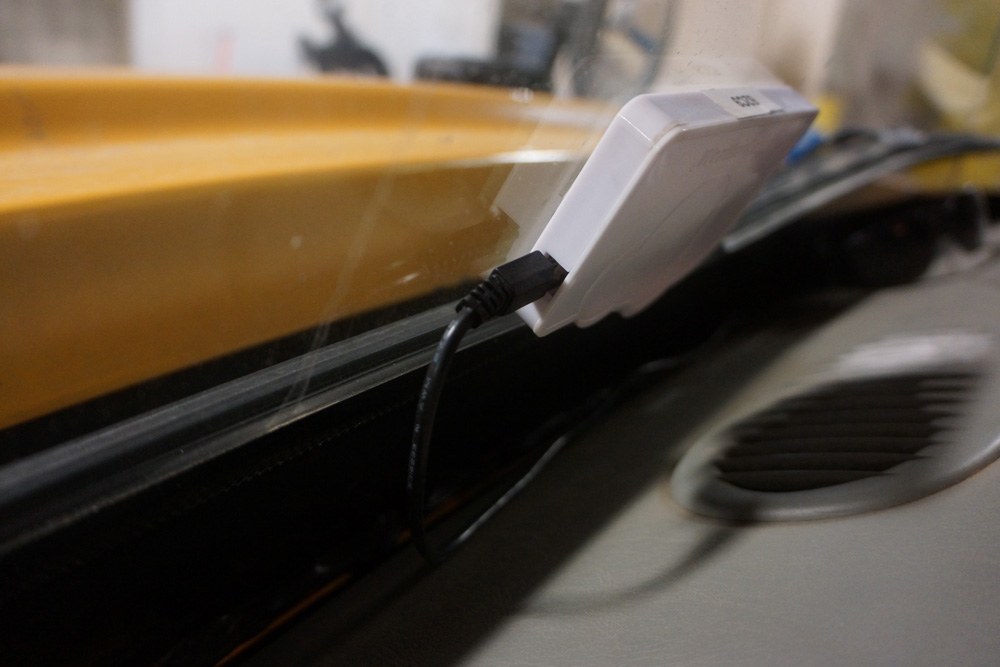
In parallel, some 400 fleet and commercial vehicles have been fitted with OBUs that support both DSRC and the satellite reception of TIMs. Garcia comments: “The cost saving is dramatic compared with that of deploying traditional roadside dynamic message signs (DMS), especially in the rural environment. CV technology allows the messages to be delivered where and when they’re needed - a big improvement over DMS located at fixed sites.”
He continues: “Currently, messages are being sent on road closures, workzones, variable speed limits, weather, incidents and parking availability. The pilot has built software for automated TIM generation from the WYDoT advanced traffic management system using an operational data environment (ODE) that we have developed - all in the open and open-source to ensure that the benefits are transferable.”
The ODE set of tools supports the encoding and decoding of messages conforming to the US J2735 standard for DSRC-based communications, introduced to ease data flows between CVs and traffic management centres such as WYDoT’s.

In addition, the automatic collection of road weather information from equipped snowploughs will give travellers more timely warnings about adverse road conditions.
In personnel terms, there will be greater safety for WYDoT highway patrol state troopers who, in a typical year, make some 25,000 traffic stops on I-80 – around a quarter of the tally for the state as a whole. Each of these represents a potential risk for these employees.
Transportation-sector accidents are the most numerous causes of work-related deaths in the state. Again, the distress notification application can enable these troopers to respond faster to crashes, and so minimise the risk of secondary ones.
Those working on the initiative include WYDoT official Ali Ragan, who has received the American Association of State Highway and Transportation Officials’ Vanguard Award for a young practitioner for her work on this and other projects.
The award reflected her role in striving to improve highway safety across the state, including the development of a road-condition reporting app for the use of WYDoT maintenance crews.
The pilot deployment is being funded as part of the USDoT’s Connected Vehicle Pilot Deployment Program. The entire volume of project documentation is being made publicly available.
Wyoming in numbers
Key long-term targets include:
- 25% reduction in numbers of vehicles involved in crashes compared to the most recent five-year average
- 20% improvement over baseline in numbers of vehicles travelling at no more than 8km/h (5mph) over posted limits
- 10% reduction in crash rates within workzones compared to the most recent five-year average
AVs and supply lines
Internet of Things and wireless communications specialist Digi International sees initiatives such as Wyoming’s as being key to the creation of a new generation of autonomous supply chains. Powered by smart, city-to-city transport and logistics systems, it expects these to move critical goods such as food and emergency supplies without the need to risk the lives of human drivers (and to pay their wages). At the same time, the firm – based in Minnesota - sees fresh employment opportunities emerging for roles as system developers, technicians and analysts.


