BART users can now check crowdedness in advance
David Crawford reviews innovations in the comfort zone.
Anyone who rides public transport knows that, perhaps second only to delays, overcrowding is a critical part of the passenger experience,” says Nir Erez, CEO ofMoovit is one of a number of initiatives emerging to boost comfort levels for passengers by allowing them to find – among other trip planning information - a service that is likely to have more space if they are able to make their journey earlier or later than originally planned.
Launched in March 2012 in Israel - not only as the home of its creators - but also because the small country provided what Erez calls “a simplified testing grid” and by October 2012 it moved out to 20 cities on three continents. It now operates in 30 further cities including New York where, following user comments, it had extended to New Jersey to cover suburban travel. Paris is opening in beta mode in May 2013.
Passenger comfort information is one of five data sources feeding the app; others include operators’ schedules (with live updates by passengers) and GPS-based vehicle locational data. Says Erez: “Our algorithm integrates user-generated and operator-provided data (the latter both static and real-time when available), as well as our own statistical layer”. This statistical layer is provided by app users and logs information on travel times and distances from previous trips.
“We find that cooperation with operators is quite smooth, due to the fact that we are flexible and can accommodate a variety of technical data structures, as well as limiting the use of such information solely to the provision of a service to passengers. In turn, we share anonymous (eg crowd-sourced), data with operators.”
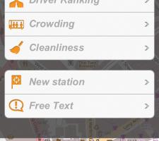
To notify their travel conditions, users click the reports button while waiting at a stop or once inside a vehicle and choose from a menu of predefined report types, including overcrowding and seat availability as well as wifi availability and (on a bus) the driver’s performance. There is also a ‘free text’ report option.
Says Erez: “Other users will see reports from the trip planner, when clicking on stops and checking next vehicle arrival information. Of course, as with any other real-time information service, conditions change.
“Other travellers are able to update previous users’ reports. Moovit also sends smart pop-ups to encourage users to contribute information on their travel experiences and updates.”
Beta testing
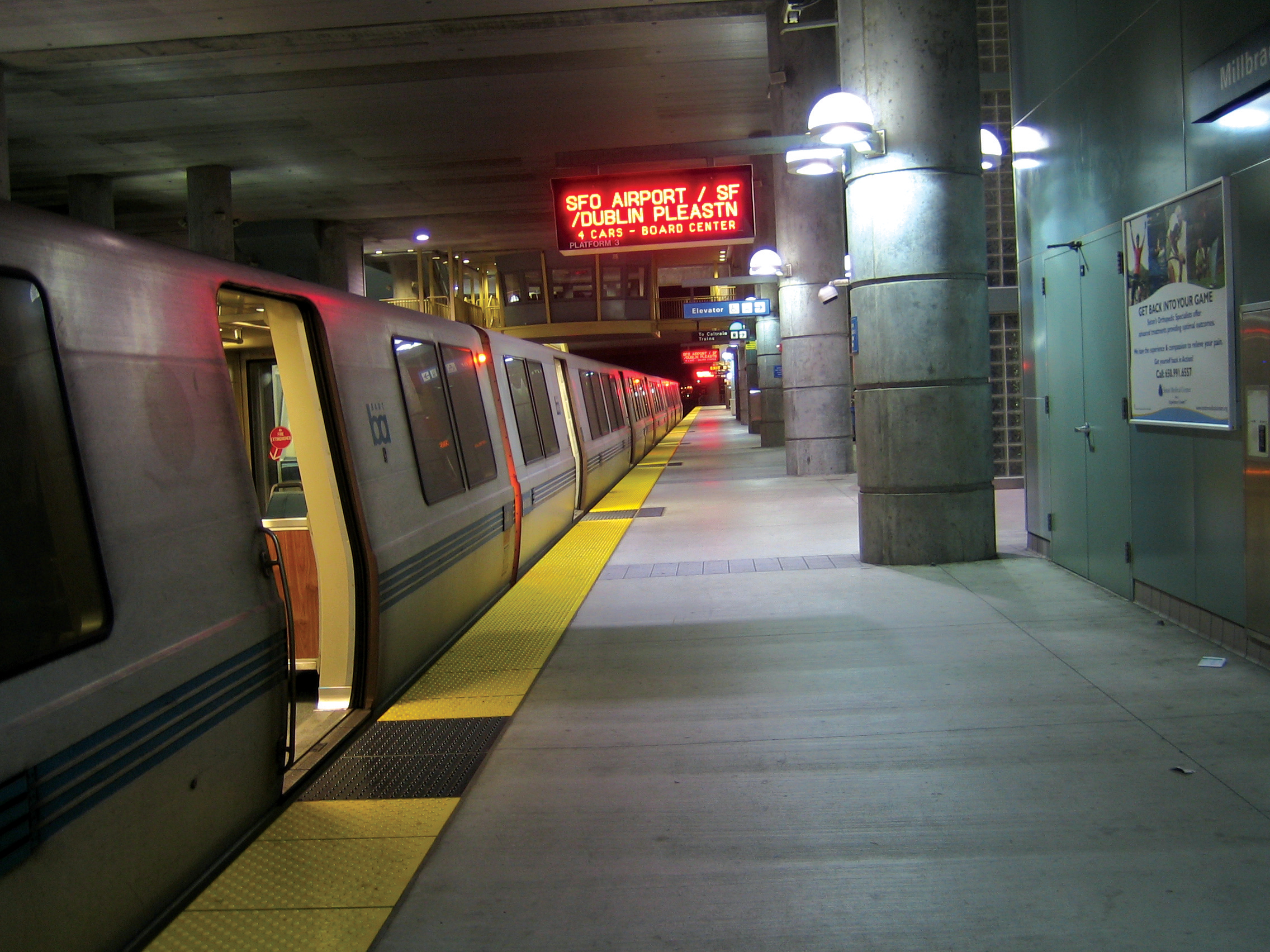
In the US, San Francisco is one of 12 cities where the app is now available with the beta version of the feature launched in April 2013. Here regional commuters now have an alternative way of pre-checking seat availability, with visitors to the Bay Area Rapid Transit (When visitors access the BART QuickPlanner, their trip plan will show the next five departures, each tagged with an icon consisting of one, two or three heads indicating that heavy, moderate or light crowding is expected over the whole train. The feature is, in part, a reaction to the record ridership levels being experienced by the network, which carried more than 114 million passengers in 2012.
Unlike with Moovit, BART’s crowding level estimates rely on historic data, the result of the network’s web team working closely with its scheduling department. “Although the information is not real-time, the historic data we’re using is generally predictive, and customers will be able to see which trips are less crowded”, says website manager Timothy Moore.
The trip plans also tell passengers whether their bikes are allowed on the train at a particular time of travel, and the crowding level feature gives them relevant advice.
Even outside busy commuting periods when bikes are barred, cyclists are warned, under BART’s bike rules, that they ‘can only board cars that can comfortably accommodate you and your bicycle’.
“They can therefore take warning that this may not be possible on trains marked with the ‘heavy crowding expected’ icon,” says BART bicycle programme manager Steve Beroldo, “and it will be a much better option to choose a train with light crowding expected.”
Bike ban relaxed
The issue is of some importance in the context of San Francisco’s transportation policy.BART is currently evaluating the results of a pilot which ran between 18 and 22 March 2013 and allowed bikes on board at most times, with only minor restrictions. The results will form the basis for future policy-making in the context of the BART Bicycle Plan which aims to double the proportion of passengers who access the transit system by bike from approximately 4% (representing 14,000 trips) to 8% by 2022.
By this time, anticipated system-wide increases in ridership and the completion of planned extension stations will be delivering 35,000 bike-borne journeys to stations each weekday, “transforming BART from a system that allows bikes to one that depends on them,” says Beroldo.
Key components in the process will include:
- Increasing the number of ‘bike stations’ -currently at four BART locations – which offer services, valet and self-service parking, rentals and classes
- Incorporating payment for electronic lockers and bike parking at self-serve bicycle stations in smart payment systems
- Developing bike-sharing using smartcard technology for automated checking in and out - San Francisco’s Municipal Transportation Agency will start pilot project in August 2013
Mobility problems
Across in Europe, Netherlands Railways (NS) is trialling its own seat availability indicator app, with a particular focus on helping passengers with mobility problems. The information appears on NS’ Reisplanner Xtra app on Android – its chosen platform for testing new app developments - as an array of between one and three coloured dolls (instead of San Francisco’s heads). If the figures do not appear in colour, the service is temporarily unavailable.NS generates the relevant symbol on the basis of the length of the train and its historical data on the number of people travelling at that time of day. A feedback button allows passengers to report on the accuracy of the information which, over time, NS expects to enhance the quality of the service. The app is initially being trialled on 11 trains operating between Zwolle and Roosendaal, east of the capital, Amsterdam. NS hopes that the feature will help spread commuters more evenly between services and deflect passenger demands for longer trains which would, in some cases, necessitate longer platforms.
Commenting on these developments, Erez says: “We’re glad that others are beginning to recognise the crowding factor, for both passengers and planning purposes. But, while historical data can give a guess about current conditions, we believe the best way to create actual data on them is by empowering the public to contribute in real-time.”
He claims Moovit is the first app to integrate corporate real-time GPS data from transportation authorities with crowd-sourcing data from actual users. “The only app to come close to our level of transportation coordination is Google Transit,” he concludes.


