David Crawford cherrypicks conference and award highlights
Almost 30% of all US citizens live in rural areas or very small communities, and 34 of the 50 states exceed this level in their own populations, with the proportions rising as high as 85%. And although rural routes carry only 35% of all traffic, the accidents that occur on them account for some 54% of all US road traffic accident deaths. To address these facts the US has introduced a nationwide Towards Zero Deaths programme.
Co-hosted by
Its ‘Crosstalkless’ concept derives from the disruptive effect of unwanted signals in a communications channel caused by interference from another circuit. Springfield professional engineer – ITS, Roger Lile, told
“Our concept addresses ways of acquiring traffic information from ITS devices, or visual or verbal sources, and then redistributing it in a timely manner. The result could be as simple as a signal timing adjustment resulting from a video observation.”
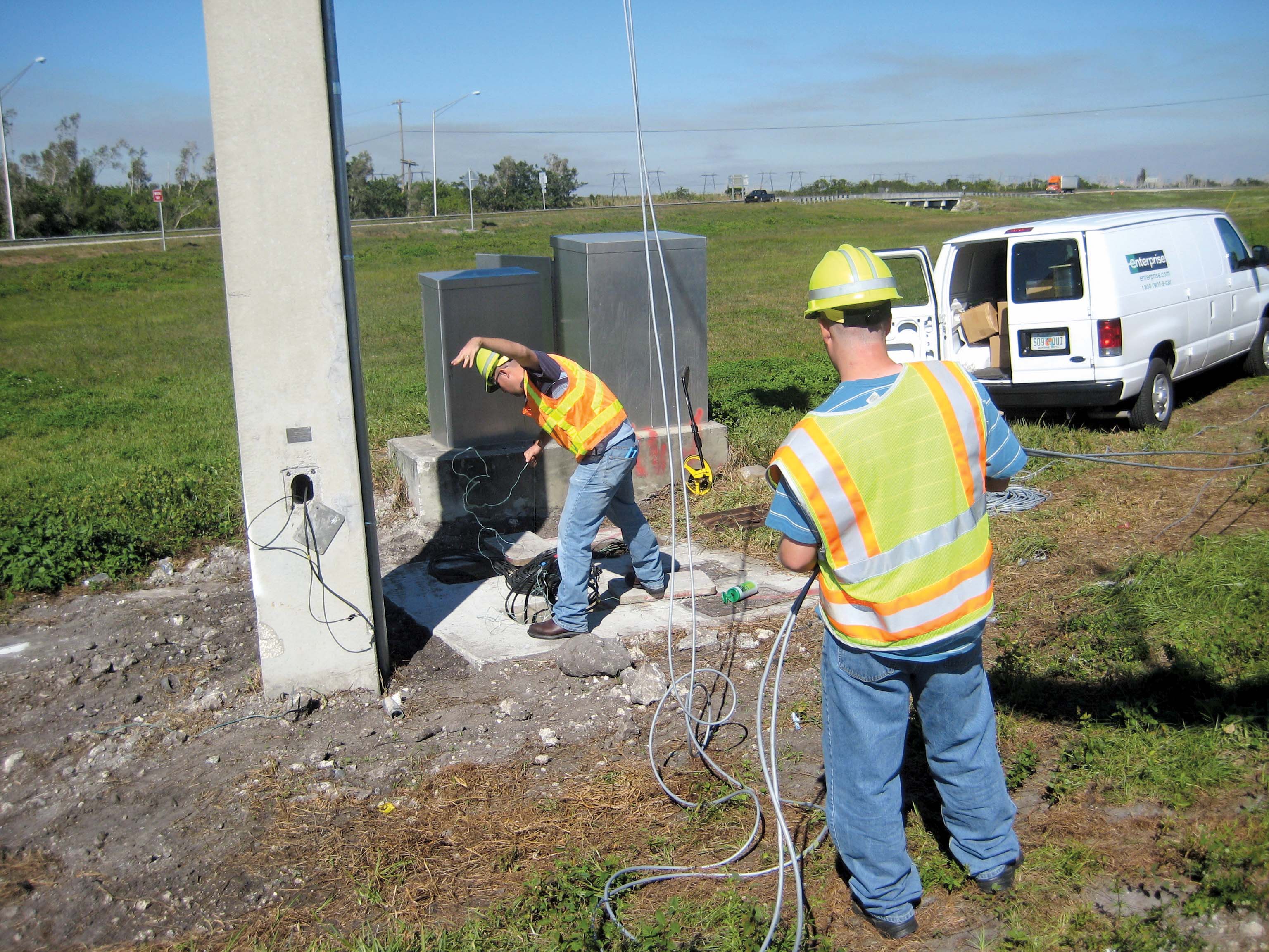
In rural parts of the US the local fire departments typically rely on volunteer support and the firefighters also act as search-and-rescue teams. To aid the volunteer firefighters’ efforts the University of Missouri has equipped to use GPS-enabled devices to locate often-scattered fire hydrants as well as tourists lost in the wilds of the Ozarks.
In one town, boy scouts trained by the university, worked with regular firefighters to map some 300 hydrants, whose GPS coordinates are now available electronically for use on callouts. The resulting faster response times have brought lower Insurance Service Office ratings for local property owners.
In Fredericktown, the fire department is trying out a new GPS-enabled smartphone app that sends out the location of the command area for the fire and gives responders the one-touch capability to send theirs, with an estimated time of arrival. Companion software maps the location of everyone involved.
In a major disaster, such as the 2011 Joplin tornado, in which 158 people died, small communities’ emergency and search and rescue teams call on help from neighbours. These incoming responders will be unfamiliar with the locality – and in even greater difficulties if street signage and points of interest have suffered from the impact. In such situations reliable GPS data becomes critically important.
Collisions
One major rural safety issue is the risk of collisions at intersections between major and minor routes - especially unsignalled ones. Factors impelling ITS development include evidence that static intersection signs are often ineffective and that sight restrictions caused by curves and slopes on minor-road approaches increase crash risks.
At the same time only limited funds are available for physical improvements such as realignments and grade smoothing; not least given low traffic volumes. Nearly 70% of fatal vehicle collisions in Minnesota happen on country roads.
Rural two-way, static stop sign-only equipped intersections accounted for 76% of these crashes. The
In response, the
The system measures the time it takes for a vehicle on the major route to travel between two sensors spaced some 6m (20ft) apart to determine speed, and then calculates when that vehicle will arrive at the intersection. It then alerts drivers on the minor route using a flashing bright yellow sign to give them around seven seconds’ notice to avoid entering the intersection.
The sensor loops are bored horizontally under the major route surface from the roadside, avoiding closures for installation and reducing future maintenance costs – a key issue for rural deployments. MnDOT brought in the
Results showed an activation rate of 99.98%, exceeding MnDOT’s 99.95% specification. It now plans to deploy RICWS at up to 50 rural crossings.
In a parallel project, the UoM has demonstrated an LED-based advanced low-cost, low-maintenance dynamic alert system for rural intersections that reacting to traffic presence. The system aims to reduce vehicle speeds on the major approach to the intersection and warn those drivers of a stopped vehicle on or entering the intersection, and warn drivers on the minor approach of an oncoming vehicle on the major approach.
The design uses ‘off-the-shelf’ equipment that available technicians can put together; wireless communications between components to avoid the need for hardwire connections or ducts; and solar energy wherever possible.
Results have shown an average decrease in vehicle speeds on the main approach of 3.8mph (6.2km/h) which equates to almost one second of extra time. In a survey of residents living within close range of a test, 92% agreed or strongly agreed that the system improved safety.
Challenges indentified for future studies include drivers relying on blinking LED warning signs in the same way as the would traffic lights and battery charging at intersections that are not in sunny locations.
For signalised rural high-speed intersections Texas Transportation Institute (TTI) has developed the Detection-Control System (D-CS) which is described as dilemma-zone protection technology. Identifying vehicle lengths and speeds at locations 265yd to 333yds (245m to 305m) upstream of an intersection, it monitors their approach lane-by-lane and assigns different weightings to trucks and cars based on lengths. By processing the resulting real time traffic data, D-CS predicts the best time to end the green phase on the major approach.
It has emerged from two different needs: for a better system for managing high‐speed (over 72km/h) signalised intersections; and the ability to respond to mandatory speed reductions introduced in Houston (which has rural as well as urban areas). The problem with the conventional approach using fixed sensors, TTI research engineer Dr Danny Middleton told ITS International, is that these will be in the wrong place when speed limits change.
D-CS is designed to be speed independent, while still protecting the dilemma zone – typically at isolated intersections.
The FHWA has so far deployed D-CS at eight sites in four US states, Texas, Florida, Louisiana and Illinois. Results have shown that frequencies of red-light violations and numbers of vehicles trapped in dilemma zone have fallen by 68% and 57% respectively.
Based on these results, the research team has concluded that wide-scale deployment could improve safety at thousands of signalised intersections and yield a high benefit-to-cost ratio. Ideas that proved particularly beneficial include having separate dilemma zones for cars and trucks and enabling truck drivers to make decisions further away from the intersection.
The deployments have all run using controllers from
Travel information
Eight north-western US states are active in the Operations and Travel Information Integration Sharing (OTIIS) project, which is working on the integration of multi-sourced data for travel information along the North/West Passage (NW/P) corridor. This follows interstate highways I-90 and I-94 from Washington to Wisconsin for nearly 2,000 miles (3,200km) - a major route for commercial and recreational travel.
Most of the states are heavily rural and three - Montana, North Dakota and South Dakota – currently lack appropriate traffic management centre operations (though they are now developing these). All experience extreme weather conditions.
The project is designing a wide-scale travel information website to help the planning of long-distance trips, and targetting of messages to modify driver behaviour. It will replace the multiple (DOT and non-DOT) sources that a long distance traveller on the N/WP currently has to consult.
Most of the state DOTs use XML (extensible markup language) or XML-based encoding for data feeds, although in varying formats and structures, and third-party sources can operate independently, making the available informational sources highly heterogeneous in nature.
The programme is therefore focussed on the need for efficient handling of this material, using a specially-developed data injector for posting the information on to the OTIIS website. It is also working on an application program interface for mobile app creation. Shown a mock-up app during a trial, one potential user said: “Finally, our DOT is caring about truck drivers.”
Currently under active consideration are plans for accident prediction and integration with freight scheduling; and intelligent rerouteing following incidents. One scheme would keep trucks on the highway, while diverting passenger traffic onto local roads.
Awards
The winner in the 2014 Best in Rural ITS Awards, run for the first time as part of ITSA’s overall scheme and announced at the 2014 ITS World Congress in Detroit, was theLaunched in November 2013, the scheme reflects the state’s characteristic terrain of high mountain passes and long rural routes that can make driving hazardous in severe winter. It supplements existing road and weather reports from UDOT’s snowplough crews and from the statewide network of traffic cameras and road weather information stations (RWIS).
The scheme organises and equips the volunteers, who can be UDOT employees, police patrols, truck drivers or other regular travellers, to give eye-witness reports on the route segments they are travelling. After completing around 30 minutes of training (online or in person), they receive a login and PIN to help them to make their submissions via a downloadable DOT Citizen Reporting app.
UDOT meshes the resulting data to allow for variations in the quality of information submitted by professionals and non-professionals. By August 2014, volunteers had submitted reports on 119 of the 145 identified road segments, filling in information gaps in locations where UDOT does not have traffic cameras or RWIS units. During a heavy winter storm in early December 2013, they sent in over 130 individual reports.
Among shortlisted entries was the
In September 2013 Condition Acquisition Reporting System (CARS), which provides 511 technology in 10 US states, added an interactive CARS-Vox component. More recently, upgrades to more than 100 RWIS monitoring highways throughout the state have equipped these to generate real-time roadway and hazardous weather condition updates directly into ITD’s 511 system every 15 minutes, 96 times per day, without human intervention.
In April 2014, the issue of a new ITD 511 smartphone app gave motorists easier access to travel information, with nearly 2,400 new users downloading it in the first week. ITD public information specialist Reed Hollinshead told ITS International: “This was one of our performance highlights for the last fiscal year”.
In the Best New Innovative Practice - Research, Design and Innovation category, the winner was the


