GIS/ Mapping & Location Based Systems
May 12, 2020
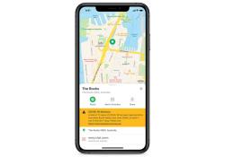
SkedGo’s feature assesses crowd levels to see which routes have fewer people
May 1, 2020
PTV Group has released a data analysis tool which it says will help planners to better understand how transport works in their city.
April 27, 2020
Aimsun has launched a free tool which will make it easier for people working from home to see modelling output from the company’s Next software.
April 17, 2020
StreetLight Data is offering vehicle miles travelled (VMT) data for US transit agencies to monitor transport networks and understand travel patterns…
April 16, 2020
Rizing, a privately held multinational services firm that focuses primarily on Sap technology, has rebranded its geospatial business Transcend…
April 15, 2020
A greater reliance is needed on the contribution hardware can make towards safety within autonomous vehicles (AVs), according to a report by…
April 9, 2020
Via has launched an on-demand microtransit shuttle service for medical workers in Abu Dhabi during the coronavirus pandemic.
April 2, 2020
The increasing sophistication of in-car technology is creating new dangers in terms of driver distraction, a new study finds.
March 31, 2020
Toyota's Research Institute-Advanced Development has demonstrated high definition (HD) maps for autonomous vehicles (AVs) for surface roads in Japan…
March 16, 2020
Waymo has redesigned its fifth-generation hardware sensor suite with the aim of enabling the scaled deployment of Waymo Driver autonomous vehicles (…


